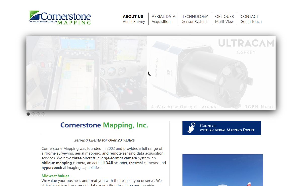

Description: Cornerstone Mapping, Inc. Serving Clients for Over 23 YEARS Cornerstone Mapping was founded in 2002 and provides a full range of airborne surveying, aerial mapping, and remote sensing data acquisition services. We have three aircraft, a large-format camera system, an oblique mapping camera, an aerial LiDAR scanner, thermal cameras, and hyperspectral imaging capabilities. Midwest Values […]
Keywords: photogrammetry,GIS services,aerial surveying,LiDAR services,digital orthophotography,architectural photography
Science Earth Sciences Geomatics Photogrammetry Products and Services Services 网站
2024年12月23日