Map images - National Library of Scotland

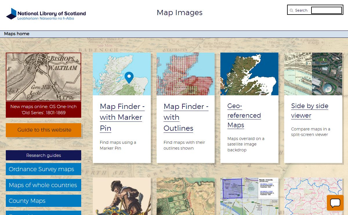
Description: Access high-resolution zoomable images of over 415,000 maps of Scotland, Ireland, England, Wales and beyond
Keywords: Maps, Historic Maps, Old Maps, Ordnance Survey Maps, Topographic Maps, National Grid Maps, County Maps, Town Plans, Estate Maps, Coastal Charts, Admiralty Charts, Military Maps, Roy Military Survey Map, Bathymetrical Survey Charts, Trench Maps, Engineering Plans, Georeferenced Maps, Side-by-side viewer, Boundaries Viewer, Ordnance Survey Records Viewer
2024年12月08日