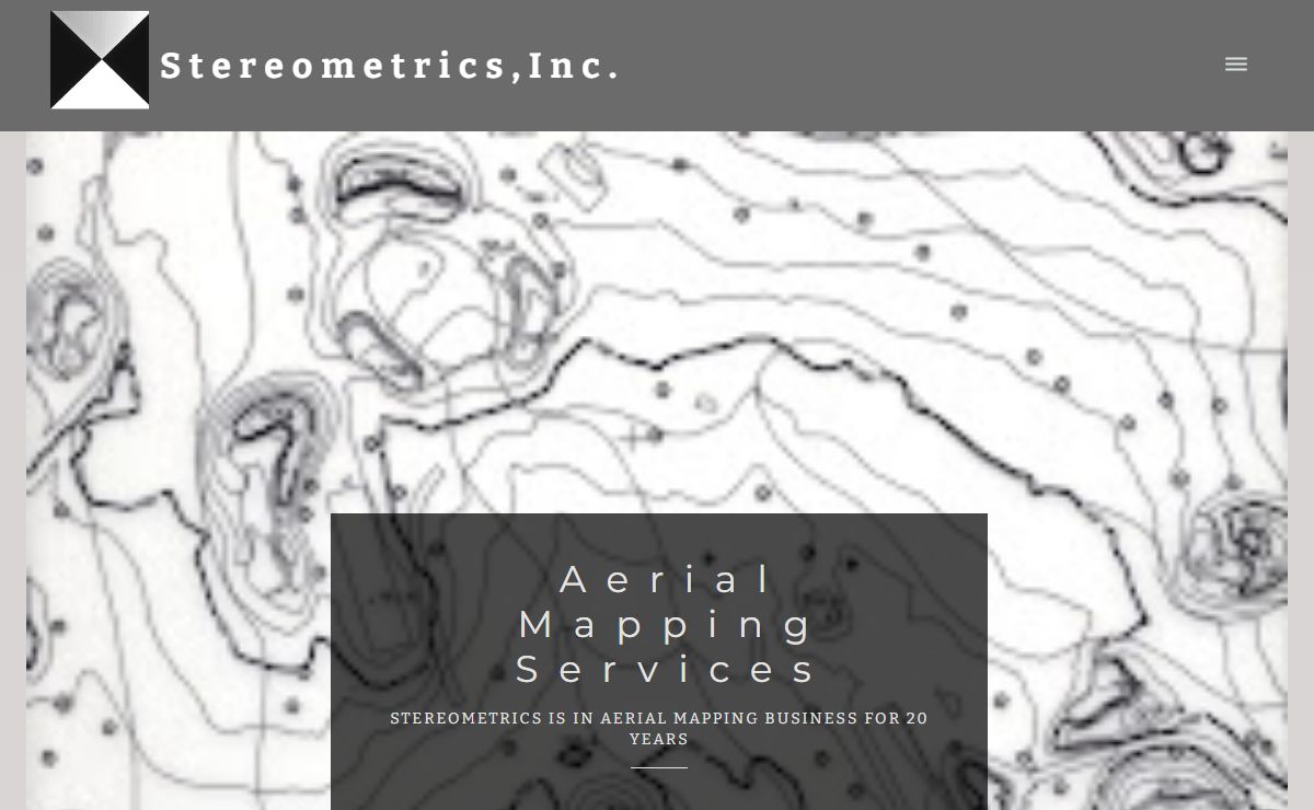

Description: Aerial Mapping Services
Keywords: aerial mapping, orthophotography, aerial photography, photogrammetry, topography,survey, LiDAR, Illinois, landfills, quarries, volume calculations, environmental services, aerial survey
Science Earth Sciences Geomatics Photogrammetry Products and Services Services 网站
2024年12月23日